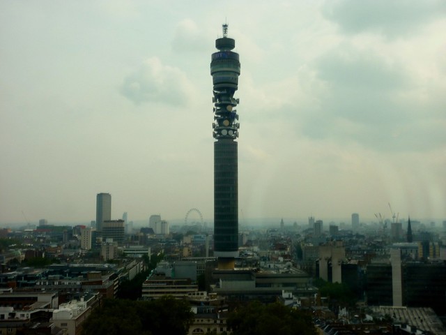
Ever since I took the above photo from a boardroom high above the Euston Road, I’ve had this image in my head of what London looks like at 300 feet (~ 100 metres). So, as usual, I got it out of my head by making something, while also using it as an excuse to have a play with Polymaps.
So, this is what Docklands looks like at 300 feet:

And this is the City:

You can explore the map at shorttermmemoryloss.com/maps/300ft/. Usual disclaimers apply.
(Ben, does this count?)
No.
Comment by Ben — September 17, 2010 @ 5:23 pm