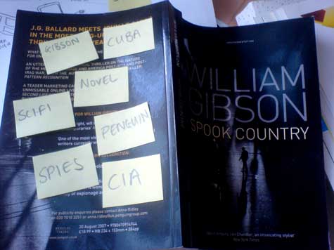
I’ve been reading William Gibson‘s latest, Spook Country, and it’s been messing with my mind. I still consider myself a huge Gibson fan, although I confess I’ve found him a little cold and remote since around Idoru – the virtual space seems to be becoming more cluttered, and less thrilling as our reality comes ever more to resemble Gibson’s vision. Or at least, my reality.
What has got me excited, however, is the novel’s focus on locative art, art that is bound up to physical locations through virtual technologies – virtual reality, geotagging, GPS tracking. I’ve been a geo geek for a while, starting with a reasonably common obsession with maps and mapping and moving into more complex areas as the technologies become available.
One of the technologies that Gibson discusses, with his usual air of the near-future, is the annotated environment, the application of metadata to the physical world. And it struck me (has lately been rather obsessing me) that this technology is available, hackable right now.
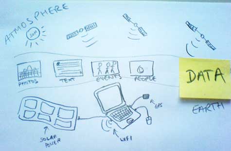
Imagine a world where it is possible to access all the information about a location at that location. Standing in the street, on a bridge or in the park, your presence triggers the automated retrieval of that location’s metadata. A grid reference transforms into a list of photos, blog posts, encyclopaedia entries, literary references, forthcoming events – and people. Memories, activities, occurrences, stored in time and mapped to a location.
This is possible now. Google Books maps references to places in literary works (here’s the reference map for George Gissing’s New Grub Street) – walking down the street, I can find literary references to pubs and old restaurants as easily as I find critical reviews of them. Wikipedia is gradually accumulating geodata on listed locations (e.g. London), Flickr has rolled out full geotagging support – Dan Catt of Geobloggers reckons there are over 18 million located photos available there alone. Here’s a photomap of London. Street addresses used in events services such as Upcoming can be converted into grid references, creating future ghosts as you pass through the sites of future happenings.
To do: I think I need one of these. (I’d also like one of these, although that’s probably a way off.) Hooking together a GPS link and a wifi connection (via a 3G card, until we get a cloud over London) would allow an automated agent to crawl the web for geo-encoded data matched to your location. Microformats have gone a long way to making this data machine-readable – the next stage is to enable a Google-equivalent search for such microformats (it’s probably already out there, somewhere, I just haven’t found it), and increase the use of GeoRSS feeds.
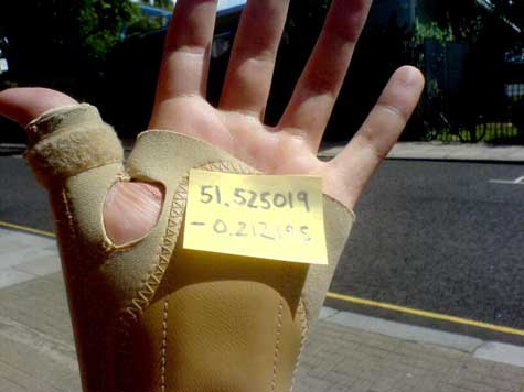
I already have Google Maps on my phone. I already get annoyed by people asking me for directions. Just look it up. This data is available. The one thing I can be pinned down to, in the physical world, is a grid reference. I am here. If you want to find me, access the metadata. When we (you, me, the clouds of data) meet, interesting things happen.


[…] on Gibson over on booktwo and a new favourite of mine, plausible futures. […]
Pingback by publishing talk — August 7, 2007 @ 2:47 am
[…] Once again, William Gibson was ahead of the curve – invisible art. How very Spook Country. […]
Pingback by Bright Meadow — August 12, 2007 @ 2:15 pm
Yea it is really cool what is possible with this new medium. We have been working on this in the research community for a while under the name mediascapes. If you are interested we have a community of authors and authoring tools at http://www.mscapers.com, also see forums.mscapers.com.
Comment by Patrick — August 20, 2007 @ 5:56 pm
[…] on Gibson over on booktwo and a new favourite of mine, plausible futures. Last 3 posts by Jon ReedTools of Change at […]
Pingback by Publishing Talk » Blog Archive » the future is already here — November 9, 2009 @ 6:29 pm
[…] on Gibson over on booktwo and a new favourite of mine, plausible […]
Pingback by the future is already here « publishingtalk_dev — November 9, 2009 @ 6:57 pm